Weekend Forecast (10/16-10/19): Sunny, mild, and breezy. Shower chances return next week.

Seasonably mild days and chilly nights are in store this weekend as a ridge of high pressure over the Great Basin keeps weather sunny, warm, and dry. Unsettled weather returns early next week with cooler temperatures and chances for rain and high elevation snow showers.
Fri, 10/16/2026: 6:00am - Sat, 10/17/26: 6:00am | |||||||
Temps (Max/Min) | Wind | Cloud Cover | Precip Prob | Precip Amt | Precip Type | Notes | |
7000-8500' | Max: 58-65° Min: 47-52° | NE @ 15-25mph, gusting to 35+ | Clear | 0% | n/a | n/a | NE winds strongest early, diminish Fri PM and become SE |
8500-10k' | Max: 50-58 ° Min: 41-47° | NE @ 25-35mph, gusting to 50+ | Clear | 0% | n/a | n/a | NE winds strongest early, diminish Fri PM and become SE |
Sat, 10/17/2026: 6:00am - Sun, 10/18/26: 6:00am | |||||||
Temps (Max/Min) | Wind | Cloud Cover | Precip Prob | PrecipAmt | Precip Type | Notes | |
7000-8500' | Max: 62-68° Min: 41-46° | SW @ 10-15mph | Clear | 0% | n/a | n/a | Generally light and variable winds becoming SW |
8500-10k' | Max: 55-62° Min: 37-41° | SW @ 15-25mph | Clear | 0% | n/a | n/a | Light to moderate winds starting variable, then turning SW |
Sun, 10/18/2026: 6:00am - Mon, 10/19/26: 6:00am | |||||||
Temps (Max/Min) | Wind | Cloud Cover | Precip Prob | Precip Amt | Precip Type | Notes | |
7000-8500' | Max: 58-64° Min: 41-47° | SW @ 10-20mph | Mostly clear to few | 0% | n/a | n/a | SW winds increase in the afternoon and continue Sun PM into Mon |
8500-10k' | Max: 51-58° Min: 35-41° | SW @ 25-35mph, gusts to 40+ | Mostly clear to few | 0% | n/a | n/a | Moderate SW winds through Sun PM, increasing overnight into Mon AM. |
Backcountry conditions:
Trails across the backcountry remain in a rinse and repeat pattern (minus water for rinsing) from last weekend's dusty conditions. Very light snow accumulations generally totaling between a dusting and an inch fell Mon. and Tues. (Oct 11 & 12), especially along the Carson Range. What little water that melted off into the soil has mostly evaporated. As a result, trails remain in wild west, dust bucket conditions except for isolated, shady pockets where long shadows and cool nights have helped soils retain a smidgen of moisture. This season's persistent lack of precip. still presents modest fire concerns, especially in the mid-late afternoon when relative humidity (RH) values fall to their nadirs and afternoon breezes peak.
Some spotty fall foliage can still be found in isolated pockets across lower backcountry elevations (7000-8000'), but leaves are quickly dropping.
Forecast breakdown:
This weekend's clear, tranquil--and initially breezy--weather can be attributed to the interplay of a strong ridge of high pressure trekking eastward across the Great Basin and a developing low off the coast of Northern Baja.

The ridge will be the dominant feature this weekend due to its strength and initial close proximity to Tahoe, warming afternoon highs across upper elevations well into the upper 50s to 60s on Friday and Saturday, before temps. cool off slightly Sunday. The interplay of the high and low and their associated pressure gradients will enhance NE - E winds Friday, before tapering overnight into Saturday, and turning SW late Saturday and Sunday ahead of the next system.

As the weekend progresses, the ridge's center (denoted by the closed 594 line) progresses eastward and weakens. Meanwhile the low (denoted by the closed 582 circle) wanders around off northern Baja, eventually opening into a weak trough that opens the door for the next, deeper low pressure system to drop in off the West Coast next week.
The initial Great Basin high and Baja low will be nearest one another on Friday, resulting in an enhanced high to low pressure gradient, pushing air off the Great Basin over the Sierra and across California. This is a classic setup for strong downslope winds and elevated fire concerns along the westside of the Sierra, in addition to communities along the coastal ranges from the Bay Area to the Mexican border.

Winds calm down on Saturday and then shift back around to the SW and gradually strengthen into Sunday as a new area of low pressure approaches California from the Eastern Pacific. A few high clouds may begin to stream into the Sierra Sunday afternoon, but no precipitation is expected through Monday evening.
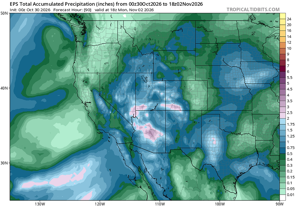
Later next week, chances for rain and snow showers come back into the picture on Tuesday, potentially lasting into the middle-end of the week. The approaching storm system has the flavor of cutoff low that may remain off the coast, spinning and digging southward before eventually pushing inland. Models still have a wide spread in solutions, so confidence remains low in forecast details. Expect unsettled and cooler than normal conditions with chances for rain and high elevation snow showers from Tuesday through Thursday.



Comments