Storm Snow Total Update: Halloween Storm 10/30-11/1

The Halloween storm bringing rain/snow over the past two days is starting its trek out of the region this morning.
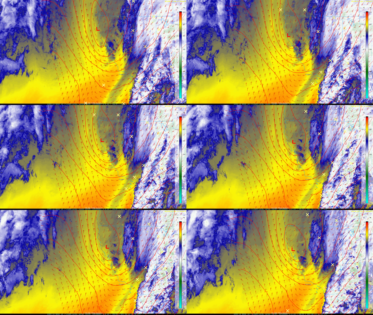
Skies will begin clearing today as the system moves on, but expect some clouds to linger and potentially drop a few convective snow showers across the mountains. Some light additional accumulations are possible, but generally < 1". N-NE flow will kick in as the low moves east of the region, keeping temperatures brisk in the low to mid 30s above 7000' today. Tonight will be cold with clear skies, calm winds and a new snowpack allowing for efficient cooling. Expect lows well into the 20s to upper 10s (especially in low lying areas) by Monday AM.
Preliminary Snow Totals (Since 6:00am 10/30/26):
Snow totals have been largely on target with between 3-12" across the region. The heaviest totals are near the Sierra Crest:
Donner Summit Snotel 6890': 4" snow / .90" liquid
Mt. Rose Ski Area Snotel 8810': 8" snow / 1.3" liquid
Heavenly Valley Snotel 8540': 7" snow / 7" liquid
Carson Pass Snotel 8360': 11" snow / 1.9" liquid
Echo Peak Snotel 7650': 6" snow / 1.2" liquid
Rubicon Snotel 7560': 5" snow / .8" liquid
Ward Creek Snotel 6750: 3" snow / 1.2" liquid
Palisades 8010' Snotel: 8" snow / 1.5" liquid


Comments