Adios, shoulder season. Hello, snow. Weekend forecast: 11/13-11/16

Updated: 5 hours ago
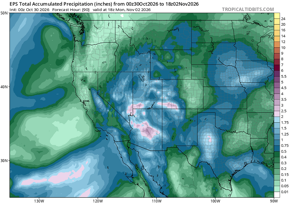
A two-round series of winter storms swings through the backcountry Friday through Saturday morning, then again overnight Sunday through Monday, bringing significant early season snows, likely deep enough to close out shoulder season and usher in backcountry touring. Mid-late next week, another storm could further establish the snowpack with another round of snowfall.
Fri, 11/13/2026: 6:00am - Sat, 11/14/26: 6:00am | |||||||
Temps (Max/Min) | Wind | Cloud Cover | Precip Prob | Precip Amt | Precip Type | Remarks | |
7000-8500' | Max: 38-43° Min: 24-28° | SW 25-35mph gusts to 40mph+ | overcast - scattered Sat at dawn | 90% | ~75% chance of 6-10": highest amounts Crest and south | Snow | Temps max early Fri PM, then drop with onset of snowfall. Gusty SW winds |
8500-10k' | Max: 34-38° Min: 21-27° | SW 40-50mph, gusts 70mph+ | overcast - scattered Sat at dawn | 90% | ~75% chance of 7-18": highest amounts Crest and south | Snow | High temps at dawn Fri, falling throughout day |
Sat, 11/14/2026: 6:00am - Sat, 11/15/26: 6:00am | |||||||
Temps (Max/Min) | Wind | Cloud Cover | Precip Prob | Precip Amt | Precip Type | Remarks | |
7000-8500' | Max: 35-40° Min: 24-28° | WSW 10-15mph gusts to 25mph | Few - scattered | 10% | <1" | snow | Coldest temps early Sat with inversions possible Sun AM |
8500-10k' | Max: 28-35° Min: 21-27° | WSW 10-20mph increasing 20-30mph Sat overnight | Few - scattered | 10% | <1" | snow | Coldest temps early Sat. Inversions possible Sun AM |
Sun, 11/15/2026: 6:00am - Mon, 11/16/26: 6:00am | |||||||
Temps (Max/Min) | Wind | Cloud Cover | Precip Prob | Precip Amt | Precip Type | Remarks | |
7000-8500' | Max: 37-43° Min: 27-31° | WSW 15-25mph gusts to 30mph | Increasing from scattered to overcast | 60% | 2-4" highest amounts west | snow | Snow begins overnight Sun-Mon ~ 7k, falling Mon |
8500-10k' | Max: 30-37° Min: 24-29° | WSW 25-35mph, gusts 40mph+ | Increasing from scattered to overcast | 60% | 3-6" highest amounts west | snow | Snow begins overnight Sun-Mon. Temps fall through Mon |
Backcountry Observations
One last week of warm, tranquil weather helped melt out many locations below 8000', opening up soft, springy trails for another few laps on foot or bike around the Tahoe Basin. Snow has largely held on, especially above 8500' on NW-N-NE aspects and in shady forests that no longer receive much direct sunlight. The stable airmass kept strong inversions in place most nights, with overnight lows dipping well into the 20s in valleys and drainages - and even some teens in the coldest locations- while temps along peaks and ridge tops mainly held in the mid 40s.
As of Thursday AM (11/12), shady, high elevation zones above 8500' along both sides of the Basin held 4-12" of old crust-on-top, facet-below snow. As incoming storms add weight to these existing layers, expect early season snowpack instabilities to awaken. Keep this in mind should touring conditions materialize over the weekend.
Storm Forecast Breakdown
A pattern change already under way this evening opens the door for two storms to drop significant early season snow across the backcountry Friday afternoon - Saturday AM, and again Sunday night through Tues AM. Snow levels will initially start high ~7500-8000' Friday morning and quickly crash with the onset of precipitation, dropping to near lake level by evening. Snow will taper to showers by dawn Saturday, giving way to sunshine on Saturday.
A transient ridge of high pressure shuffles through late Saturday into Sunday, before another, weaker and slightly cooler system enters the region late Sunday into Monday, dropping a lighter round of snow to start the work week. By Tues AM, anywhere from (10-20"+) of new snow could fall across the area with zones above 8500' and along the Sierra Crest having the highest chances for upper end snow totals.

The lifting dynamics of the Friday's "rager" look particularly robust, owed to the strength of the low and a negative (NW-SE) leaning tilt to the storm's axis. This helps to concentrate and enhance atmospheric spin, generating more lift as the system passes over the Sierra. Additionally, guidance shows low-mid level flow with the storm aligning well with the range, allowing for efficient terrain-enhanced precipitation.

But there's more! At the highest levels of the atmosphere, the jet stream will add even more lifting dynamics as its most favorable region (left front) for precipitation passes over the area Friday afternoon/evening.

All of these dynamics will generate periods of strong SW winds at the surface, most pronounced along SW facing ridges and peaks. Winds will also be strong at lower elevations and along lee slopes, so expect significant wind transport of new snow.
Moisture for the Friday storm will come largely from a decaying atmospheric river (AR) that combines with the aforementioned dynamics to support an intense, yet fairly short-lived round of snowfall lasting into Friday night, a limiting factor in accumulations. Even so, snowfall rates of up to 2"+ per hour look likely across the area during the storm's peak Friday afternoon/evening, especially along the Sierra Crest and points just south of the Basin.

Models over the past day or so have consistently shown the focus of the moisture transport and highest liquid precipitation projections along the Crest from Tahoe to just a bit north (Donner-Sierra Buttes). However, the lower peaks in that region will miss out on the highest snow amounts due to initially higher snow levels.
How much snow falls is largely dependent upon how high snow levels start and how fast they drop. Forecast confidence is fairly good in snow levels starting around 7500-8000', then falling quickly after noon on Friday. The Euro ensemble shows little spread, while the American models still exhibit a relatively wide array of outcomes for this close to the event.
Despite guidance advertising some eye catching snowfall totals, I expect them to be less than advertised, generally in the (7-16") range. Some higher amounts along the highest terrain are possible, but the quick moving nature of the system and middling amounts of moisture will likely limit snow totals.
By dawn Saturday, snow will wind down with skies breaking and temps remaining generally cool, topping out in the upper 20s - low 30s above 8500', with low-mid 30s down to 7000'. Saturday night temps remain fairly steady as a ridge of high pressure moves in behind the storm.
Sunday's temperatures will warm slightly into the low to upper 30s under a mix of clouds and sun. Winds will likely increase from the SW later in the day as another system takes aim on the Sierra with precipitation beginning overnight Sunday into Monday.
The second storm in the series looks both weaker and less moist than Friday's system, but it does look to begin a bit colder with lower snow levels ~7000' at the start, possibly falling below lake level during the day on Monday. Current projections show a few additional inches accumulating atop Friday's totals during the day on Monday and into early Tuesday. Tweaks to the forecast will be needed over the weekend as more details become clearer.
Later next week, another round of Sierra snow looks possible in the Thursday-Friday time frame, adding more base atop this weekend's seasoning-opening salvo.
Adios, shoulder season.


Comments