Mild and dry stretch followed by renewed signs of a colder, wetter pattern late next week and beyond. Weekend Forecast: (11/6-11/9)

Updated: 7 days ago
A dry and benign pattern will bring mild temps, sunny skies and generally light winds this weekend into the middle of next week. Models suggest a pattern shift towards next weekend, heralding the arrival of cooler, stormier weather with the potential for significant rain/snow across the Sierra.
Fri, 11/6/2026: 6:00am - Sat, 11/7/26: 6:00am | |||||||
Temps (Max/Min) | Wind | Cloud Cover | Precip Prob | Precip Amt | Precip Type | Remarks | |
7000-8500' | Max: 47-52° Min: 27-37° | N shifting to E-SE ~ 10mph | Few - scattered | 0% | n/a | n/a | Inversions likely in AM |
8500-10k' | Max: 42-47° Min: 24-39° | NE 10-20mph, gusts 25mph+ | Few - scattered | 0% | n/a | n/a | Strong inversions likely in AM |
Sat, 11/7/2026: 6:00am - Sun, 11/8/26: 6:00am | |||||||
Temps (Max/Min) | Wind | Cloud Cover | Precip Prob | Precip Amt | Precip Type | Remarks | |
7000-8500' | Max: 54-59° Min: 30-45° | SW 10-20mph | Mostly clear - few | 0% | n/a | n/a | Strong inversions likely in AM |
8500-10k' | Max: 46-54° Min: 26-45° | SW 15-25, increasing overnight Sat. | Mostly clear - few | 0% | n/a | n/a | Strong inversions likely in AM |
Sun, 11/8/2026: 6:00am - Mon, 11/9/26: 6:00am | |||||||
Temps (Max/Min) | Wind | Cloud Cover | Precip Prob | Precip Amt | Precip Type | Remarks | |
7000-8500' | Max: 51-57° Min: 28-45° | SW 10-15mph | Few - scattered | 0% | n/a | n/a | AM inversions |
8500-10k' | Max: 43-51° Min: 28-41° | SW 20-30mph | Few - scattered | 0% | n/a | n/a | AM inversions. Ridgetop winds increase overnight Sun-Mon |
Backcountry observations:
In the wake of last week's snowfall, the snowline across the Tahoe backcountry sits around 7500', but is far from uniform. Shady zones even down to 7000' host patches of snow that are just enough to make biking and running slick and awkward. One moment you're cruising on perfect, damp trail, then next you're slogging across a few inches of crusty snow in a shady drainage. Above 8000' snow coverage is more consistent, but generally not yet deep enough to carve turns without hitting obstacles and risking early season injury. It's solidly shoulder season above 7000'.
Below 7000', trails are generally snow free and in great shape now that a few systems have moistened up the dirt. Because sun angles are low and temperatures have remained cool, trails remain moist and tacky with very little dust. It's a great time to get a few more laps in across lower elevation backcountry trails.
Expect conditions to remain similar this weekend through the coming week until more rain and snow return, possibly by late next week.
Forecast breakdown:
Another quiet weekend is on tap this week with above average temperatures, sunny skies, and light winds. A ridge of high pressure that built into the region on Thursday (11/5) will take up residence over the West for most of the weekend before it begins to nudge eastward on Sunday, bringing increased SW flow and some passing high clouds as a system moves through the Pacific NW.

Temperatures over the weekend will be about 5-10°F above average (average temps at Tahoe City for 11/6 are 51°/39°) with highs reaching into the mid-upper 50s for lower backcountry elevations (7000-8500') through Sunday, while higher zones above 8500' will climb into the mid 40s. Overnight lows will be brisk in the 20s and 30s, highly dependent upon elevation and terrain. Low lying basins and drainages will be significantly cooler than surrounding slopes and peaks as the stable, dry airmass sets up nightly inversions. Lows midslope and along the highest peaks and ridges will likely stay well above freezing each night, while adjacent valleys may dip into the 20s.

Winds will be generally light and variable starting out with a mellow NE flow, turning E, then SE and flipping around entirely to the SW late Saturday in response to the system passing through the Pacific NW.

Long Term Forecast:
Over the past few weeks, it's felt like the models have teased at a large scale pattern change favoring heavy rain and snow starting in November, but truly heavy precipitation has yet to materialize. Last week's snows did set up a thin snowpack above 8000', but it's still mostly unusable for all but those willing to risk injury and gear. The nascent high elevation snowpack will likely facet and weaken during the coming dry period across colder NW-N-NE aspects, setting the stage for persistent weak layers to lurk in the snowpack once bigger storms arrive.
Throughout the past week model guidance has shown signals favoring another pattern change that could bring significant precipitation to the Sierra late next week. However, as the week has worn on, models have wavered on the intensity, location, and timing of potential storms, keeping forecast confidence low.
Looking out at the big picture, the signs are out there as noted in the 500mb pattern over North America. The ridge affecting the West Coast this weekend eventually gets booted out to the east by a large scale, mid-level trough in the NE Pacific around the 11/13-11/15 time frame.

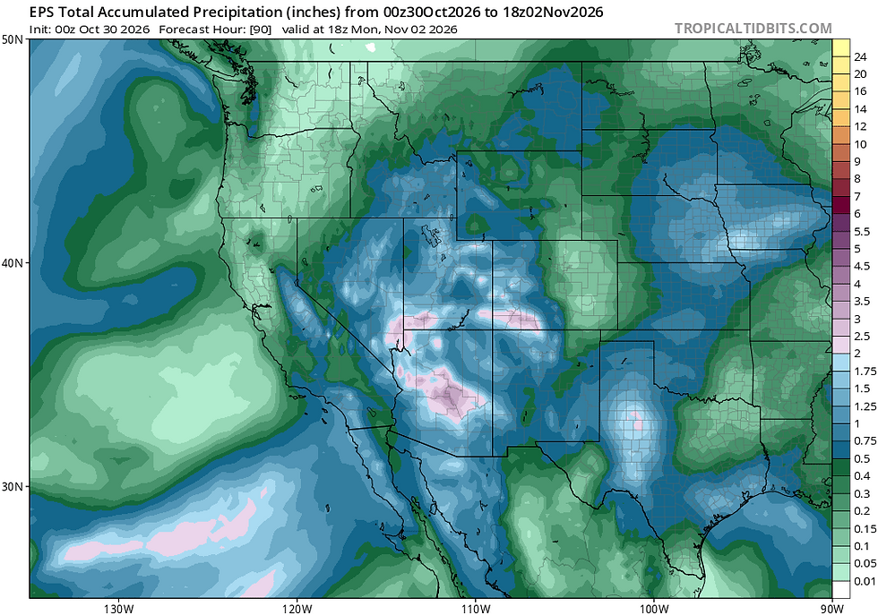
In addition to the EPS, both the AI European ensemble and the GEFS (American) ensemble show a similar switch in the pattern towards cooler and wetter across the west coast. The guidance agrees on the shift towards an unsettled pattern.


Another factor at play is the jet stream, the high velocity, high altitude winds that direct and enhance weather systems. For the past week, model ensembles have also agreed on an enhanced branch of the Pacific jet extending towards the West Coast and setting up in a way that would place CA in a favorable region for storm development.

Ensembles suggest that the dynamics will be in place for storminess across our area, but what about precipitation? Water vapor transport (IVT) guidance has been showing some concentrated moisture flow coming into the Sierra around the same time as the large scale trough and strong jet extension. However, the most recent model runs have steered the greatest amounts further to the north. Should this trend continue, odds of a heavy rain/snow event will trend downward.

Despite many of the long range signals lining up to suggest a stormy pattern late next week, the evolving nature of moisture guidance introduces quite a bit of doubt to the forecast. Will the Sierra get its first dump of the season? Or are we in line for another round of cool, showery weather with high elevation snow and modest accumulations. It's still too soon to know and far from a slam dunk.
Over the next week, models will converge on a better forecast, so stay tuned as the picture gets clearer. For now, there's plenty of low elevation trail--and even a few inbounds "white ribbons of death"--to enjoy under sunny skies and calm conditions over the coming weekend.


Comments